

My friend Dale had been bugging me to go on a nice day ride. He only insures his bike for six months and his time was running out. As luck would have it, I had a fairly open weekend so a day ride was just the thing.
The weather reports leading up to the ride were a bit iffy but, as Saturday morning unfolded, the weather looked fairly good and it promised to be a dry day.
We had chatted about several options for our ride including up to Whistler and then over to the Duffy Lake Road and then home but were worried that might take a bit too long and the evenings are just not that warm. The ride we had decided on was along the Number One Highway until Spences Bridge, over to Merritt and then return home.
The weather was a bit chilly when we left Maple Ridge ('F' on the map) - around 10°C. I had a T-shirt, long sleeved shirt, fleece sweater, hoodie, and my jacket with liner. I also wore my neck warmer and motorcycle shoes. And pants (AKA trousers), of course! I do not like being cold and did my best to prevent it!
After gassing up in Silverdale, we headed towards Mission, hoping to take Highway 7 to Hope, but it was closed due to an accident, just outside of Mission, in Hatzic. We turned around, headed over the Fraser, and onto Highway 1.
This part of the ride was not that exciting - it was basically slab driving with a fair amount o traffic.
 |
| Home Restaurant in Hope, BC (not my photo) |
Once we got to Hope (''D' on the map), we had breakfast at the Home Restaurant. It was very much appreciated as I hadn't eaten anything yet. It also gave us a chance to warm up although, as usual when Dale and I ride, I wasn't quite as cold due to my heated grips and seat.
After topping up my tank, we left Hope, taking Highway 1 along the Fraser Canyon. There is nice scenery but we were more on the hill side than on the river side. We had talked about reversing our trip at breakfast but just forgot to do that once we got on the road!
The sun came out in places on this leg of the trip. It's an enjoyable route with not a lot of traffic and some nice curves as we rode north.
 |
| Confluence of two rivers in Lytton |
Finally we arrived at Lytton. Lytton is famous for being the place where the Fraser and Thompson rivers meet. You can even see the different colours of water in the photo. The cloudy, turbid river is the Fraser and the clear one is the Thompson.

It was also a nice place to get a photo of the two of us.
When we left Lytton, Dale said that he needed more gas. There was only one gas station that we saw a sign towards and it was going the wrong direction so he decided to wait it out. We even passed a "next gas 94km" sign, Dale thinking that Spences Bridge ('B' on the map) had to have gas as it was at the junction of two highways.


As we continued along the highway, we had some wonderful views, including this series of photos that I took from the side of the road.
Finally, we arrived in Spences Bridge. Spences Bridge has many things including accommodations and stores but it does not have a gas station. Our only recourse was to continue onto Merritt.
We took Highway 8 which was wonderful! Lots of twisties, hardly any traffic, good weather, and nice scenery. Ahead of me, I saw that Dale kept crouching forward on his bike. I thought his back was bothering him. As it turned out, his back was fine. He was trying to make himself more aerodynamic as he was almost out of gas!
 |
| Johnny's Gas Station on the Rez (not my photo) |
When we got to Merritt ('C' on the map), we didn't really feel like lunch so we just had a refuel and headed towards home.
From Merritt, we took the Coke - the Coquihalla Highway. It was built back in 1986 (for Expo) and was a toll highway ($10 each way) for years. It's a good highway but is so straight that it can be rather boring. We made pretty good time, though, probably because during the downhill parts we tended to go a little fast. Still, it was very nice weather, although it was quite cool again as the Coke is high in elevation.
Arriving in Hope, we thought we would try Highway 7, assuming that it was now open. Luckily there was one of the giant highway information signs that informed us that the highway was still closed. Later, we found that a VW Jetta had drifted across the line and smashed into a logging truck. Unfortunately the driver of the Jetta was killed.
With Highway 7 blocked and neither of us really wanting to take Highway 1 home, we took a parallel route from Hope to Chilliwack. It was well marked in some areas and then just disappeared so we had to make some U-turns and try a few different roads. When we got to Chilliwack (letter 'E' on the map) we finally ran out of road and decided to take the freeway.
 |
| Mission Springs Pub and Restaurant (not my photo) |
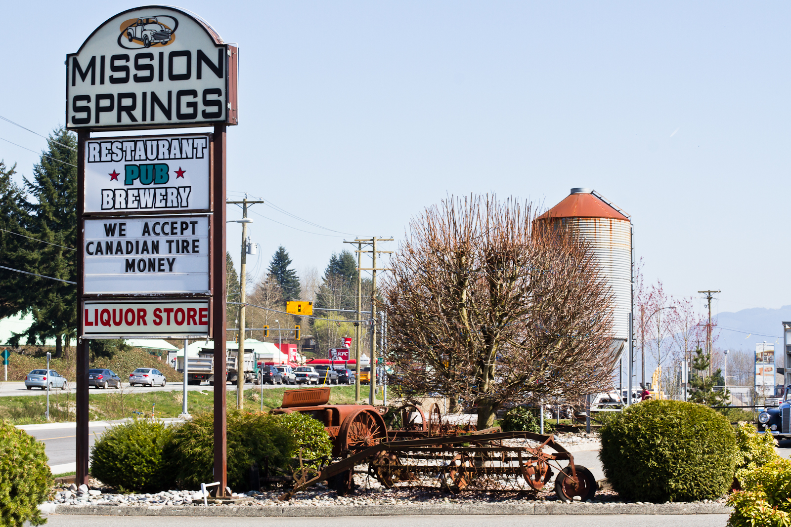
It was rather uneventful from there and we decided to stop for dinner at the Mission Springs Pub. It is located in, you guessed it, Mission. They brew their own beer and we had some chicken wings and pizza to finish up the meal. The beer was good (Big Chief Cream Ale) and we both appreciated the chance to warm up as we had become quite chilled.
One of the topics of conversation was about riding together. We both do enjoy riding by ourselves but riding together is certainly more fun, especially when you stop.
After our break, we headed home, gassing up one more time with the cheap gas in Silverdale before heading home. In all, about 580 km - total time was about ten hours including breaks.
I'm not sure if I will have many more chances for day rides this year. Although I insure all year, I mainly depend on my scoot as a commuter vehicle in Fall and Winter. We shall see what the next couple of weeks bring.
No comments:
Post a Comment